New Orleans’ $15 Billion Levees Sink 7x Faster Than Sea Levels Rise
In a nutshell
- New Orleans’ $15 billion flood protection system is sinking up to 28 millimeters per year—nearly 10 times faster than sea level rise
- The Louis Armstrong International Airport area shows the most severe land subsidence at 27 millimeters annually due to recent construction
- Satellite monitoring reveals that newly built concrete floodwalls are sinking faster than older earthen levees that were simply raised
NEW ORLEANS — Nearly $15 billion bought New Orleans what many believed was the gold standard in hurricane protection: 350 miles of state-of-the-art levees and floodwalls designed to withstand the worst storms nature could throw at them. But there was one thing engineers didn’t fully account for: the ground beneath these massive structures won’t stop moving. New research reveals that parts of this critical infrastructure are sinking more than an inch per year.
Using advanced satellite technology, Tulane University scientists have discovered that sections of New Orleans’ Hurricane and Storm Damage Risk Reduction System (HSDRRS) — the massive network of levees and floodwalls built after Hurricane Katrina — are dropping by as much as 28 millimeters (about an inch) per year. Some parts of the city itself are sinking nearly as fast, losing up to 20 millimeters annually.
As these structures sink relative to sea level, they become less effective at keeping floodwaters out during major storms. This poses a serious threat to the long-term effectiveness of defenses designed to withstand once-in-a-century storm surges .
Satellites Reveal Hidden Infrastructure Problems
Researchers led by Simone Fiaschi, a former researcher with Tulane’s Department of River-Coastal Science and Engineering, used Interferometric Synthetic Aperture Radar (InSAR) to measure tiny changes in ground elevation across Greater New Orleans . This satellite-based method can detect movements as small as a few millimeters by comparing radar images taken at different times.
The team analyzed data from two different satellite systems spanning nearly two decades, from 2002 to 2020. They examined 791,377 measurement points in their earlier dataset and 163,204 points in their more recent analysis, providing unprecedented detail about how the land is moving across the metropolitan area.
Unlike previous studies that had limited coverage or high uncertainty levels, this research captured both urban areas and natural wetlands that were previously difficult to monitor.
Where New Orleans Is Sinking Fastest
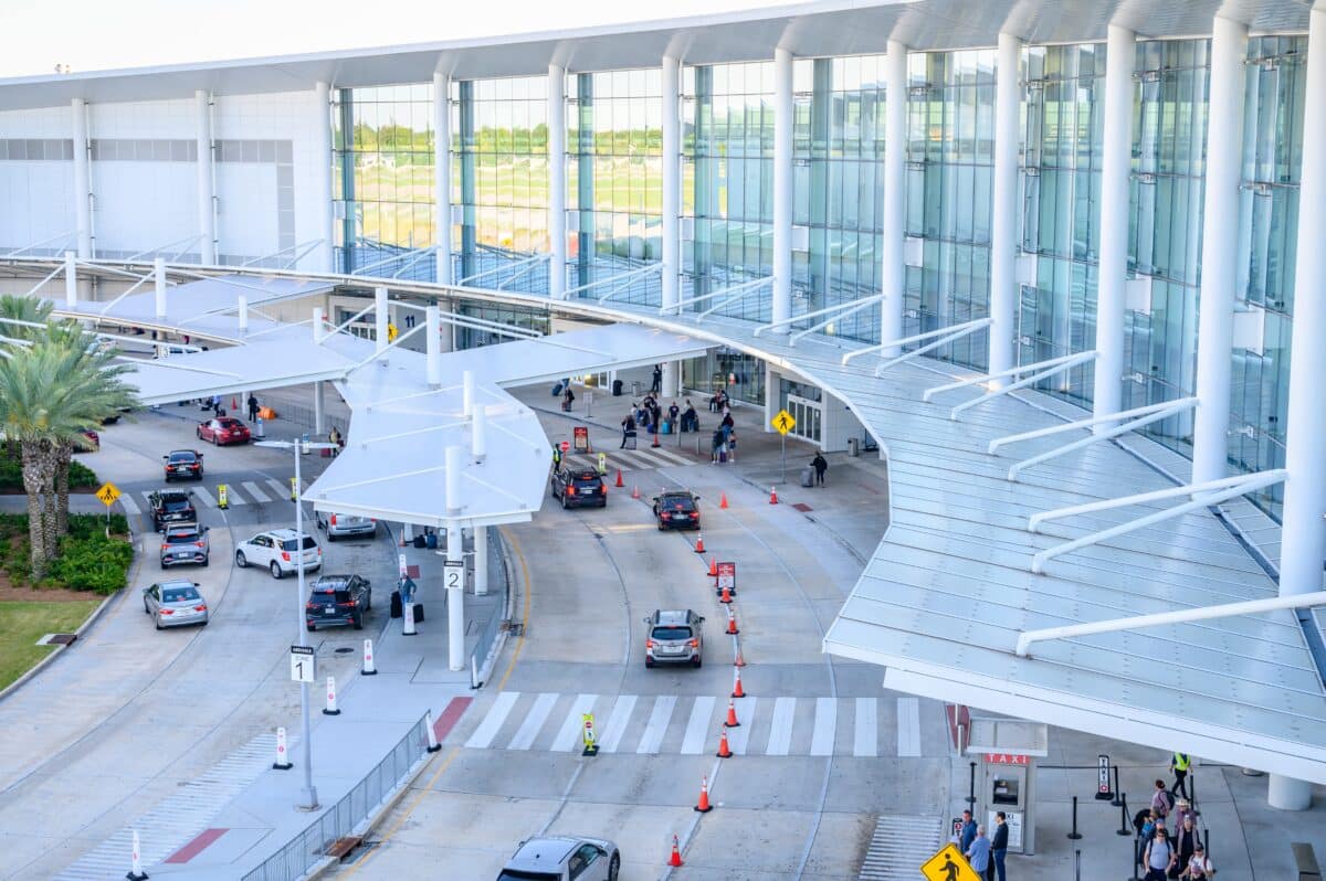
While much of central New Orleans remains relatively stable, certain areas are experiencing dramatic elevation loss. Louis Armstrong International Airport showed some of the most severe subsidence, with rates reaching 27 millimeters per year in areas where recent construction occurred.
Communities that were historically wetlands before being drained and developed — particularly areas along Lake Pontchartrain — continue to sink as organic-rich soils compact and break down. These neighborhoods, which were converted from cypress swamps and freshwater marshes, have dropped up to 3 meters over the past two centuries.
Industrial facilities throughout the region also showed significant subsidence, particularly where groundwater pumping occurs. However, researchers discovered one notable exception: the Michoud area, where subsidence rates dramatically slowed after 2016 when a power plant stopped pumping groundwater for cooling purposes.
Wetland areas showed the most extreme elevation loss, with some marsh regions dropping more than 40 millimeters per year. These rapid changes raise concerns about the long-term survival of these critical ecosystems that serve as natural storm buffers.
The $15 Billion Flood System Under Threat
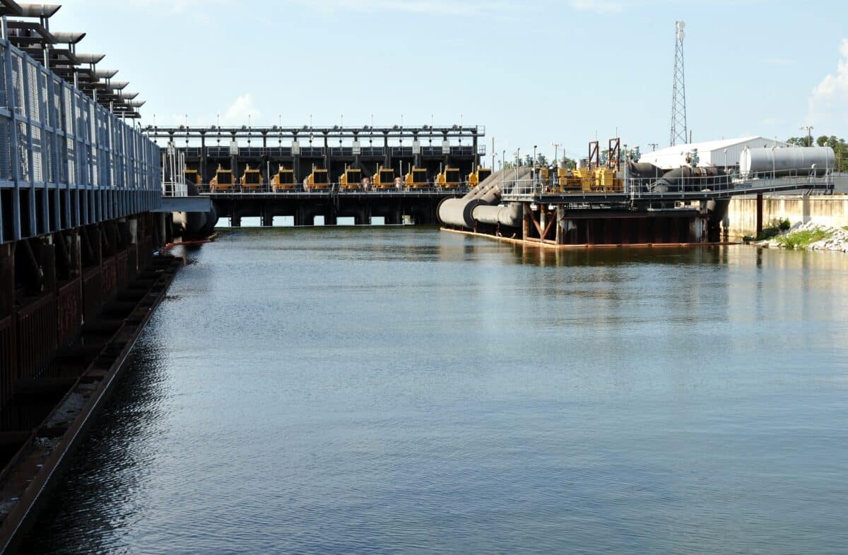
Perhaps most concerning for New Orleans residents is what’s happening to the HSDRRS itself. Built between 2011 and 2017, this system includes 350 miles of levees and concrete floodwalls, 73 pumping stations, and various gates designed to protect the city from storm surges.
The research, published in Science Advances , shows that newly constructed concrete floodwalls are experiencing higher rates of subsidence than older earthen levees that were simply raised to meet new standards. Post-construction settling appears to be a primary cause of the elevation loss in these areas.
Sections experiencing the highest rates of subsidence include floodwalls near the international airport, earthen levees in New Orleans East, and barriers in St. Bernard Parish. Some areas of the system are dropping at rates up to 28 millimeters per year. That’s more than seven times faster than the current sea level rise rate of about 3.6 millimeters annually.
New Orleans faces multiple geological conditions that contribute to subsidence. The city sits on thick layers of soft sediments deposited by the Mississippi River over thousands of years. These sediments naturally compact over time, but human activities have accelerated the process through groundwater pumping, wetland drainage, and heavy construction on soft soils.
Long-Term Consequences for Coastal Protection
For the citizens New Orleans, this research shows the ongoing nature of the city’s flood risk challenges . While the HSDRRS provides crucial protection, maintaining its effectiveness requires constant vigilance and adaptation to changing conditions.
The research team suggests their work should inform ongoing maintenance and monitoring of the flood protection system. Regular satellite surveillance could help identify sections that need attention before they compromise storm protection levels, offering a more complete picture than current ground-based monitoring alone.
Local authorities already conduct some ground-based monitoring, but the comprehensive coverage provided by satellite data helps prioritize maintenance efforts and guide future infrastructure investments. As both sea levels and subsidence rates continue to threaten New Orleans, the city’s $15 billion investment in flood protection will require ongoing attention and likely additional investment to maintain its life-saving capabilities.
Paper Summary
Methodology
Researchers used satellite-based Interferometric Synthetic Aperture Radar (InSAR) to measure ground movement across Greater New Orleans from 2002–2020. They analyzed images from two satellite systems (RADARSAT-1 and Sentinel-1A) using advanced processing techniques to detect millimeter-scale elevation changes. The study examined 791,377 measurement points in the earlier dataset and 163,204 points in the later period, covering both urban areas and natural wetlands across the metropolitan region.
Results
The study found that while central New Orleans remains relatively stable, significant subsidence affects many areas of the city and its flood protection system. The Hurricane and Storm Damage Risk Reduction System shows elevation loss up to 28 millimeters per year in some sections. Parts of New Orleans are sinking up to 20 millimeters annually, with the highest rates at Louis Armstrong International Airport (27 mm/year) and in wetland areas (up to 40+ mm/year). Industrial areas and former wetlands converted to urban use show particularly high subsidence rates.
Limitations
The study acknowledges several limitations, including the inability to separate horizontal and vertical ground movements due to satellite orbit constraints. Wetland measurements are particularly challenging due to vegetation interference and complex environmental factors. The research also notes uncertainties in comparing results from different time periods due to natural and human changes in the landscape between observation periods.
Funding and Disclosures
This research was funded by the Louisiana Coastal Protection and Restoration Authority under the Lower Mississippi River Management Program through the Gulf Research Program. One co-author was supported by the Jet Propulsion Laboratory at the California Institute of Technology. The authors declared no competing interests.
Publication Information
“Vertical land motion in Greater New Orleans: Insights into underlying drivers and impact to flood protection infrastructure” by Simone Fiaschi, Mead A. Allison, and Cathleen E. Jones was published in Science Advances on June 27, 2025 (Volume 11, Article eadt5046).
Post a Comment for "New Orleans’ $15 Billion Levees Sink 7x Faster Than Sea Levels Rise"
Post a Comment